Crags·Reference entry
The Lower Town Wall and What the Valley Below It Changed
The granite that defines Index rises directly from the rooflines of a town of fewer than two hundred people — a proximity that shaped every decade of the wall's climbing history.
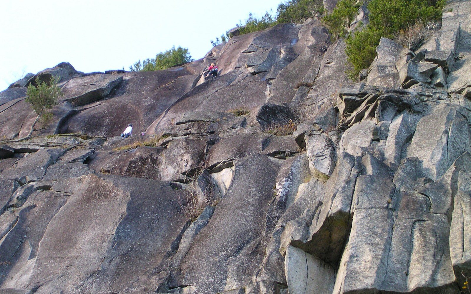
Photo: Index Town Wall · Wikimedia Commons
The Wall and the Town
Index, Washington, sits where the North Fork of the Skykomish River bends south and the valley narrows to almost nothing. The town was a granite-quarrying settlement, platted in the 1890s, and the rock that ended the quarry business ultimately became the reason people returned. The Index Town Walls — a collective name for the sequence of granite faces above the townsite — rise in three broad tiers from the valley floor: the Lower Town Wall, the Upper Town Wall, and the Index Town Wall proper. Of these, the Lower Town Wall is the most consequential: the most visible, the most accessible, and the one that shaped the crag's reputation through the second half of the twentieth century.
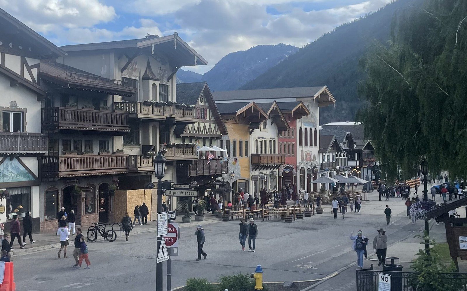
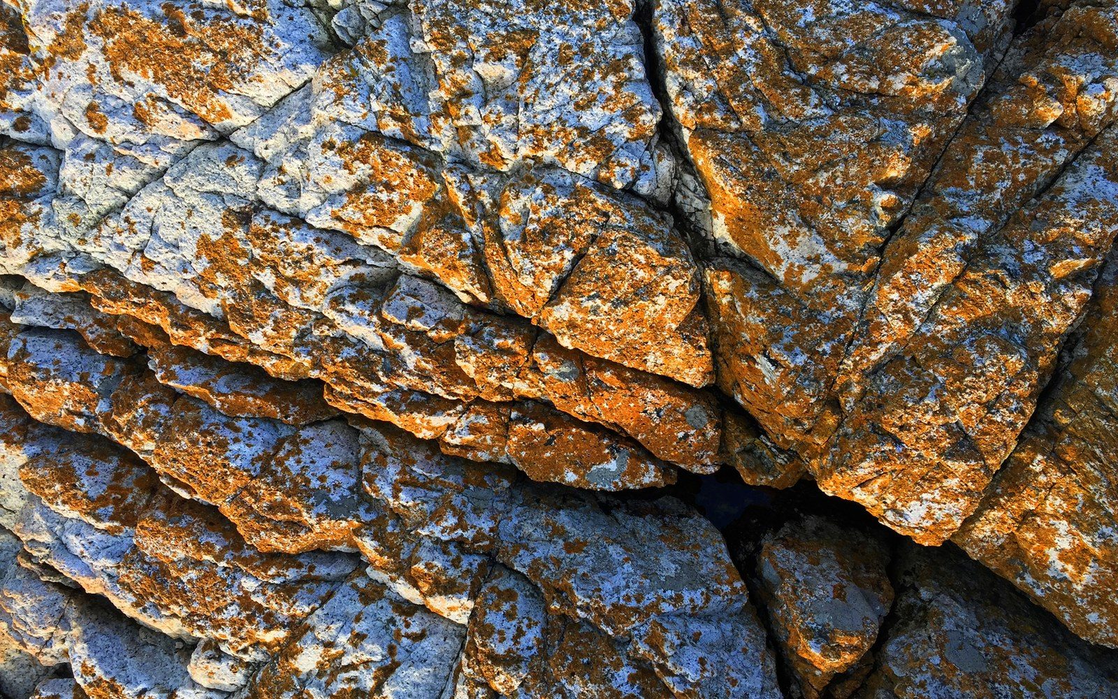
The rock is the Index batholith, a granitic intrusion that cooled beneath the surface during the Cenozoic (Oligocene–Eocene) and was later exposed by erosion and glacial action. The result is a steep, crack-seamed face of exceptional quality — compact, friction-friendly, and cut by vertical fissures that define the line of virtually every major route. Where the Leavenworth crags sit above a tourist town built around a Bavarian theme, and the Frenchman Coulee columns rise from desert scabland with no community underneath them at all, the Index walls stand directly behind residential streets. A climber at the base of a route on the Lower Town Wall is a few minutes' walk from the general store.
Chronology
- 1890sIndex platted as a granite-quarrying settlement; the rock that ended the industry later became the climbing draw
- 1960s–70sprincipal era of route development on the Lower Town Wall; Godzilla and the Japanese Gardens established as named terrain
- 2010Washington Climbers Coalition ↗ purchase secures the Lower Town Wall for permanent public access
Named Routes, Named Terrain
The Lower Town Wall's signature routes belong to the era of Northwest free climbing development in the 1960s and 1970s. Godzilla, one of the wall's defining crack lines, carries the kind of name that says something about how its first-ascensionists experienced it: not a topographic description but a statement of scale and difficulty. The route follows a sustained crack system up the center of the face, and its position — visible from below, logical in its line — made it a benchmark against which climbers measured both the wall and themselves. The Washington Alpine Club and members affiliated with The Mountaineers were active in Index during this period, but the wall also drew climbers operating outside those institutions, figures for whom the proximity to Seattle mattered: Index is roughly fifty miles east of the city on U.S. Route 2, close enough for a day trip, far enough to feel committed once the approach begins.
The Japanese Gardens is a distinct zone on the Lower Town Wall — steeper, more technical, named for an aesthetic quality its early climbers read in the rock's texture and the way vegetation colonizes its ledges. The name is geographic shorthand rather than a formal designation, but it has functioned as one since at least the 1970s and appears in Fred Beckey's documentation of the area. Beckey, whose three-volume Cascade Alpine Guide ↗ remains the canonical reference for Washington climbing history, noted Index as a major rock destination at a time when the wall's harder routes were still being established. His recording of first-ascent data — party, date, grade — gave the wall its place in the regional record.
The Skykomish Valley functions here not just as scenery but as logistics. The river runs along the road; the road runs through town; the town sits at the base of the wall. Unlike Washington Pass, where Liberty Bell Mountain and the Early Winters Spires require a long drive into the mountains before any climbing begins, Index offers vertical granite with almost no horizontal distance between car and cliff. That compression changed who could use the wall. Climbers without the time or resources for multi-day alpine routes could project routes on the Lower Town Wall on weekends, returning repeatedly. The wall accumulated traffic in a way that remote crags could not, and that traffic produced grades, beta, and eventually reputation at a pace that matched urban climbing areas in other states — unusual for a formation embedded in the Cascades.
Key named features
- Lower Town Wall — primary face of the Index Town Walls, above the townsite of Index
- Upper Town Wall — the tier above the Lower Town Wall
- Godzilla — major crack route on the Lower Town Wall, named for scale; a benchmark of the wall's harder climbing
- Japanese Gardens — distinct technical zone on the Lower Town Wall, named for the character of its rock and vegetation
- Index batholith — the granitic intrusion underlying all three tiers of the Town Walls
The 2010 Purchase and the Question of Access
The Lower Town Wall's proximity to private land made access a recurrent concern through the 1990s and 2000s. The wall itself, or portions of the approach to it, passed through land that was neither publicly managed nor clearly open to climbers. The situation clarified in 2010 when the Washington Climbers Coalition, working alongside The Mountaineers and other partners, completed a purchase that secured the Lower Town Wall for public access. The transaction transferred the wall out of private ownership and into a configuration that formalized what climbers had treated as de facto public terrain for decades. The 2010 purchase is documented in the coalition's own organizational history and represents one of the more significant land-access outcomes in Washington climbing — not because the wall was in immediate danger of closure, but because the informal arrangement that had governed access was resolved into something permanent.
The resolution also clarified the Lower Town Wall's relationship to the town beneath it. Index had tolerated climbers for decades without institutional acknowledgment; after 2010, the wall's status as accessible climbing terrain was no longer contingent on that tolerance. The Skykomish Valley had other things happening to it across this period — the logging industry that had sustained towns like Index and Skykomish contracted steadily through the 1980s and 1990s, and the valley communities shrank. The climbers who continued arriving at Index did so into a town that was quieter than it had been in the quarrying years but still inhabited, still shaped by its original function as a working settlement rather than a recreation destination.
That distinction matters. Leavenworth remade itself as a Bavarian village to draw tourism; Index did not remake itself at all. The Lower Town Wall became, over sixty years of climbing history, one of the best-documented crack-climbing areas in the Pacific Northwest, and it did so while the town behind it remained largely unchanged — small, private, rooted in a river valley that the Skykomish keeps cutting deeper every winter. The granite above it does not care about any of that, but the record of who climbed it and when does: it is a record shaped at every stage by what it means to have a world-class wall at the edge of a working town, not a resort, not a wilderness approach — a town where people live, at the bottom of a cliff that happens to be exceptional.
- ●Mount Erie
- ▲Index
- ●Snow Creek Wall
- ●Castle Rock
- ●Peshastin Pinnacles
- ●Exit 38
- ●Frenchman Coulee
- ●Royal Columns
The rock is the Index batholith, a granitic intrusion that cooled beneath the surface during the Cenozoic (Oligocene–Eocene) and was later exposed by erosion and glacial action.