Crags·Reference entry
Mount Erie Above the Islands
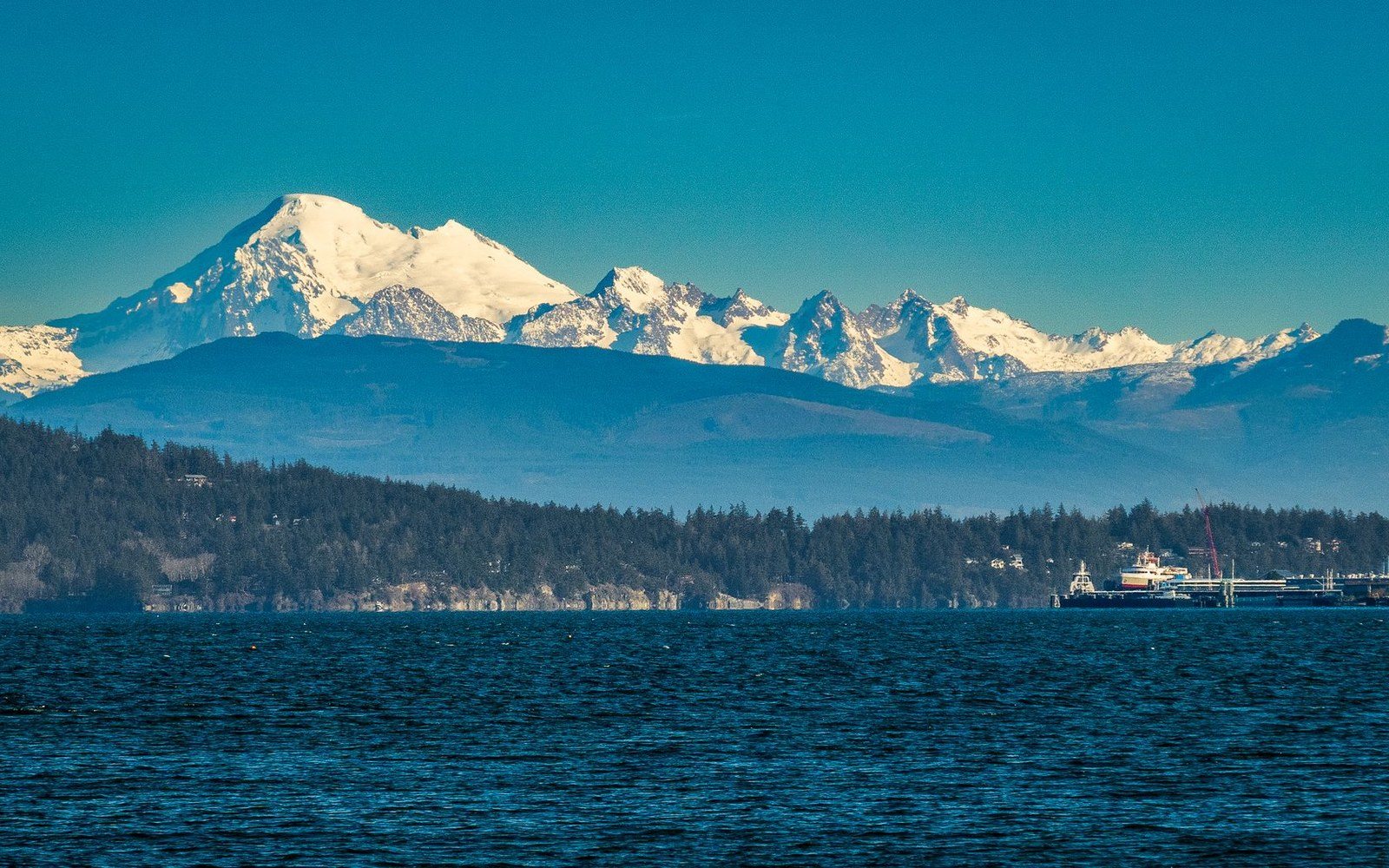
Photo: William Jacobs / Pexels
A Basalt Crag at the Edge of the Sea
Mount Erie rises to 1,273 feet above Fidalgo Island, a few miles south of Anacortes, and occupies a position unlike any other crag in the Washington record. The climbing here is short by Cascade standards — roadside basalt walls rather than multi-pitch granite — yet the setting is unmatched: on a clear day the summit view takes in the San Juan Islands, the Olympic Peninsula, and Mount Baker rising white to the east.
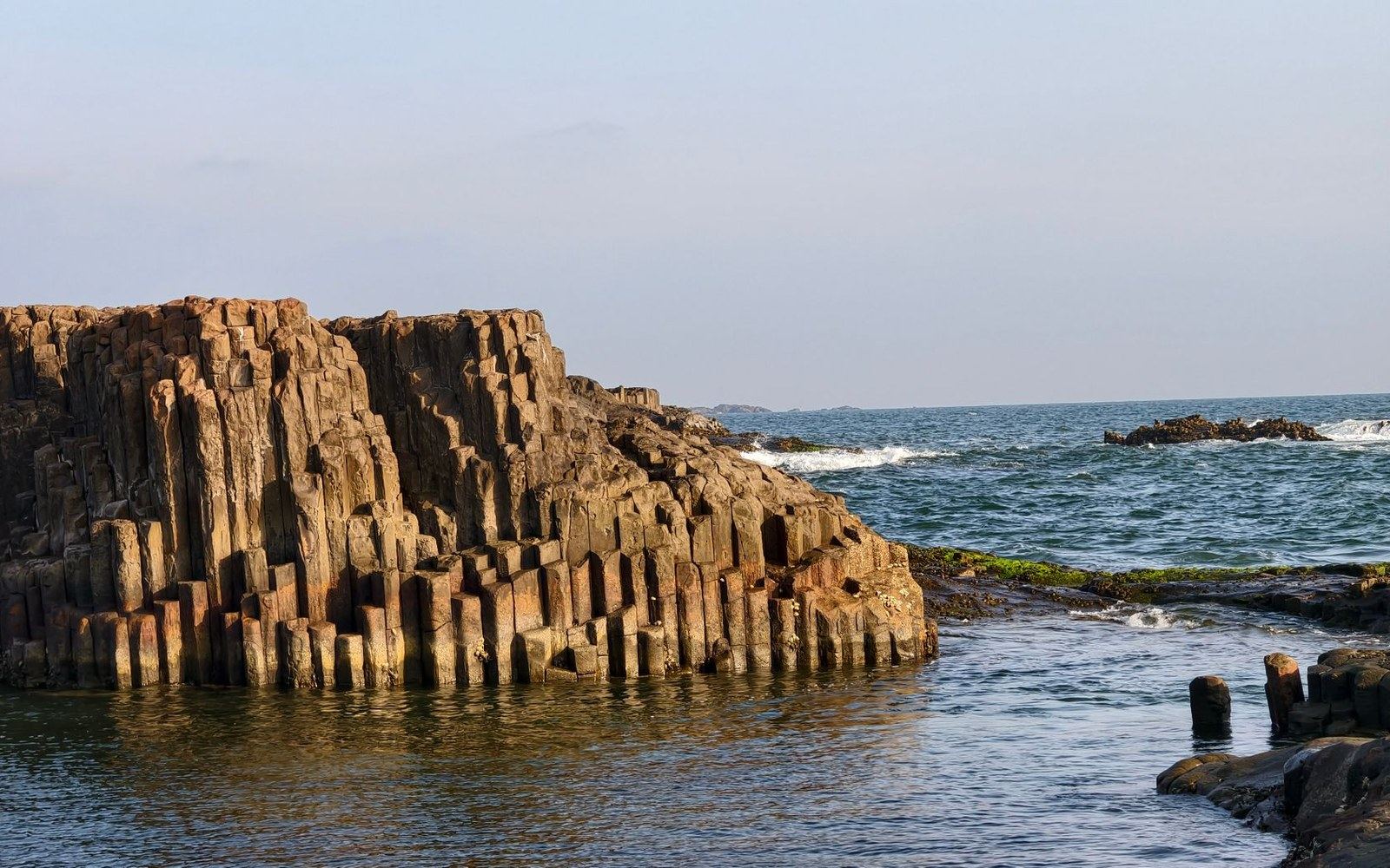
The rock is basalt, the same volcanic material that produced the columnar formations at Frenchman Coulee and the Tieton, though Erie's exposures lack the geometric regularity of those eastern Washington sites. Here the cliffs are irregular, broken into faces and overhangs by a more complex cooling and fracturing history. The island geology reflects the Fidalgo ophiolite of the San Juan Islands–Northwest Cascades thrust system — accreted ocean-floor material pressed against the continent — rather than the flood-basalt sequences of the Columbia Plateau.
Climbing on Erie developed gradually through the mid-twentieth century, tied to the same Northwest community that produced routes across Puget Sound and the Cascades. The Mountaineers, whose membership reached into the islands and the Skagit Valley corridor, included Erie in its orbit of accessible practice crags, close enough to Seattle for a weekend visit and accessible enough for beginners. Mount Erie's position within Anacortes Community Forest Lands, managed by the City of Anacortes, distinguishes it from the federally administered wilderness areas to the east; access history here is municipal rather than federal ↗, a distinction that shaped how the cliff developed and who climbed it.
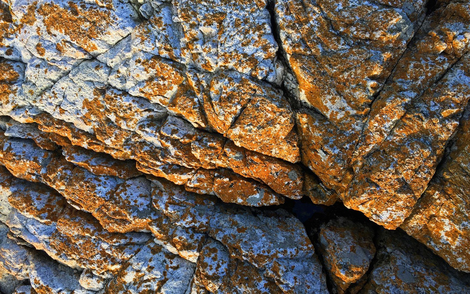
The routes run short — most measured in single pitches — and the grades distribute across the moderate range that made the crag useful for instruction and for climbers stepping from indoor gyms toward outdoor rock. Named routes cluster on the main wall sections facing south and west, where the rock dries fastest after rain and afternoon light holds longest. The cliff's character is compact rather than expansive, defined by texture and position rather than length.
What the record preserves about Erie is less a catalog of bold first ascents than a portrait of a community crag ↗ at the saltwater edge of the range — a place where Washington climbing acquired some of its early social texture, within sight of the islands and just above the sound.
Key facts
- Summit elevation — 1,273 feet, Fidalgo Island, Skagit County
- Rock type — basalt, accreted terrane geology distinct from Columbia Plateau flood basalt
- Land management — Anacortes Community Forest Lands, City of Anacortes
- Route character — predominantly single-pitch; moderate grade distribution
- Institutional orbit — The Mountaineers, regional practice-crag network
- ▲Mount Erie
- ●Index
- ●Snow Creek Wall
- ●Castle Rock
- ●Peshastin Pinnacles
- ●Exit 38
- ●Frenchman Coulee
- ●Royal Columns
Here the cliffs are irregular, broken into faces and overhangs by a more complex cooling and fracturing history.