Crags·Reference entry
Exit 38, World Wall I, and the Case for Roadside Rock
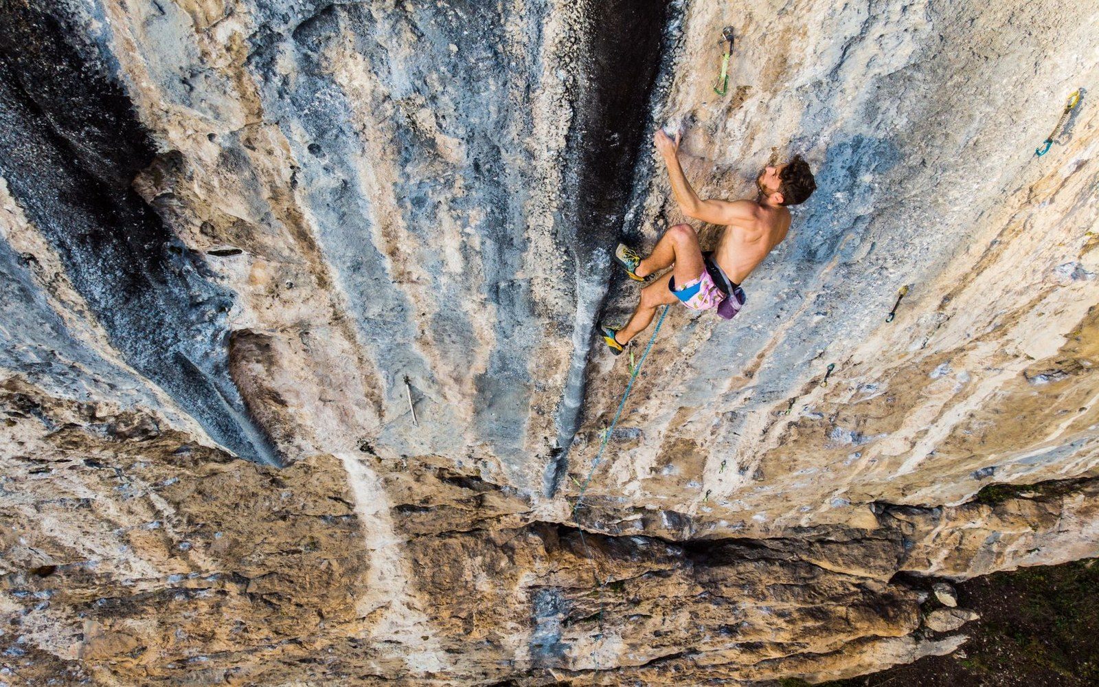
Photo: Federico Tomasoni / Pexels
The Crag the Freeway Made
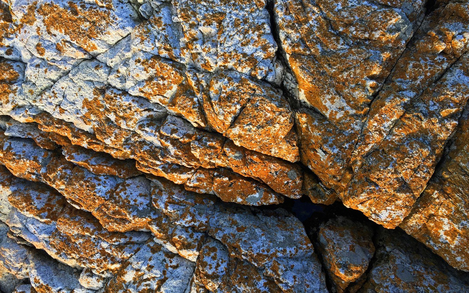
Exit 38 off Interstate 90 drops into the foothills east of Seattle, and within minutes the road passes crags that would be footnotes anywhere else in Washington. The rock is competent but not extraordinary — schist and greywacke, metamorphic material laid down long before the Cascade volcanoes announced themselves. What distinguishes Exit 38 is arithmetic: the crags sit roughly thirty miles from the city, reachable after work, climbable before dark returns.
World Wall I is the named formation that anchors the area's record. It rises above the North Fork Snoqualmie corridor near Little Si, the forested ridge that frames the valley's west side. The routes on World Wall I are documented in the regional literature without the biographical weight that accrues to a Liberty Bell or a Snow Creek Wall — no single first-ascensionist defines the crag the way Fred Beckey defines a generation of North Cascades objectives. The record here is collective and incremental, built by Seattle-area climbers who needed stone within reach of a Tuesday evening.
That proximity shaped what the crag became. Crags close to population centers develop differently than remote alpine objectives: they accumulate route density rather than legendary single lines, their history is written in guidebook entries rather than summit registers, and their first-ascent culture tends toward the practical. The Mountaineers, founded in Seattle in 1906, understood this geography well — their institutional energy always balanced distant expedition with accessible training ground. Exit 38 represents the latter end of that balance.
Chronology
- 1906The Mountaineers founded in Seattle; institutional framework for regional climbing established
- OngoingWashington Climbers Coalition active on access questions in the Exit 38 corridor
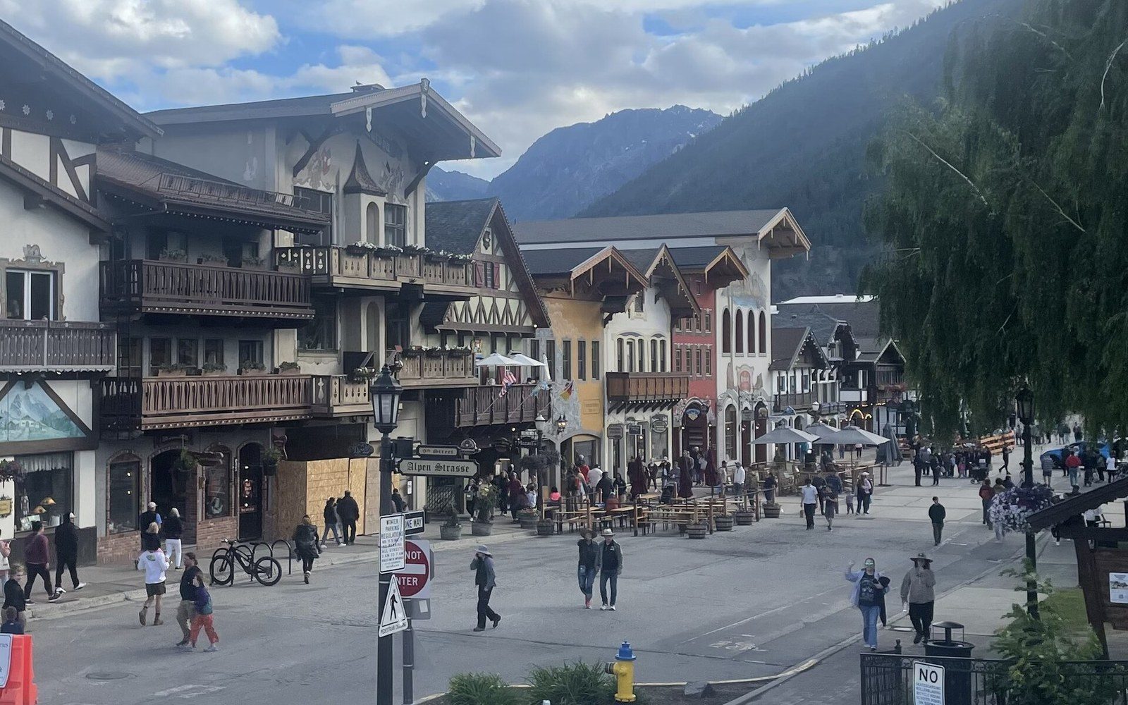
The broader Exit 38 area comprises several distinct walls and bouldering zones, none of them famous enough to anchor a climbing biography but all of them real and named in the regional literature ↗. World Wall I earned its designation because the record required one — because routes need addresses, and addresses require names. The Washington Climbers Coalition has engaged with access questions in this corridor, where trail use and climbing use intersect on land managed by King County and the U.S. Forest Service ↗.
Proximity is not a lesser qualification. A crag visited by hundreds of new climbers learning movement on real rock has a history as genuine as any remote wall, even if no expedition ever wrote it down.
Key facts
- Exit 38 location — Interstate 90, approximately 30 miles east of Seattle
- Rock type — metamorphic schist and greywacke
- Named formation — World Wall I, in the North Fork Snoqualmie corridor near Little Si
- Managing agencies — King County and U.S. Forest Service
- ●Mount Erie
- ●Index
- ●Snow Creek Wall
- ●Castle Rock
- ●Peshastin Pinnacles
- ▲Exit 38
- ●Frenchman Coulee
- ●Royal Columns
It rises above the North Fork Snoqualmie corridor near Little Si, the forested ridge that frames the valley's west side.