Crags·Reference entry
The Royal Columns and the Tieton's Dry Side
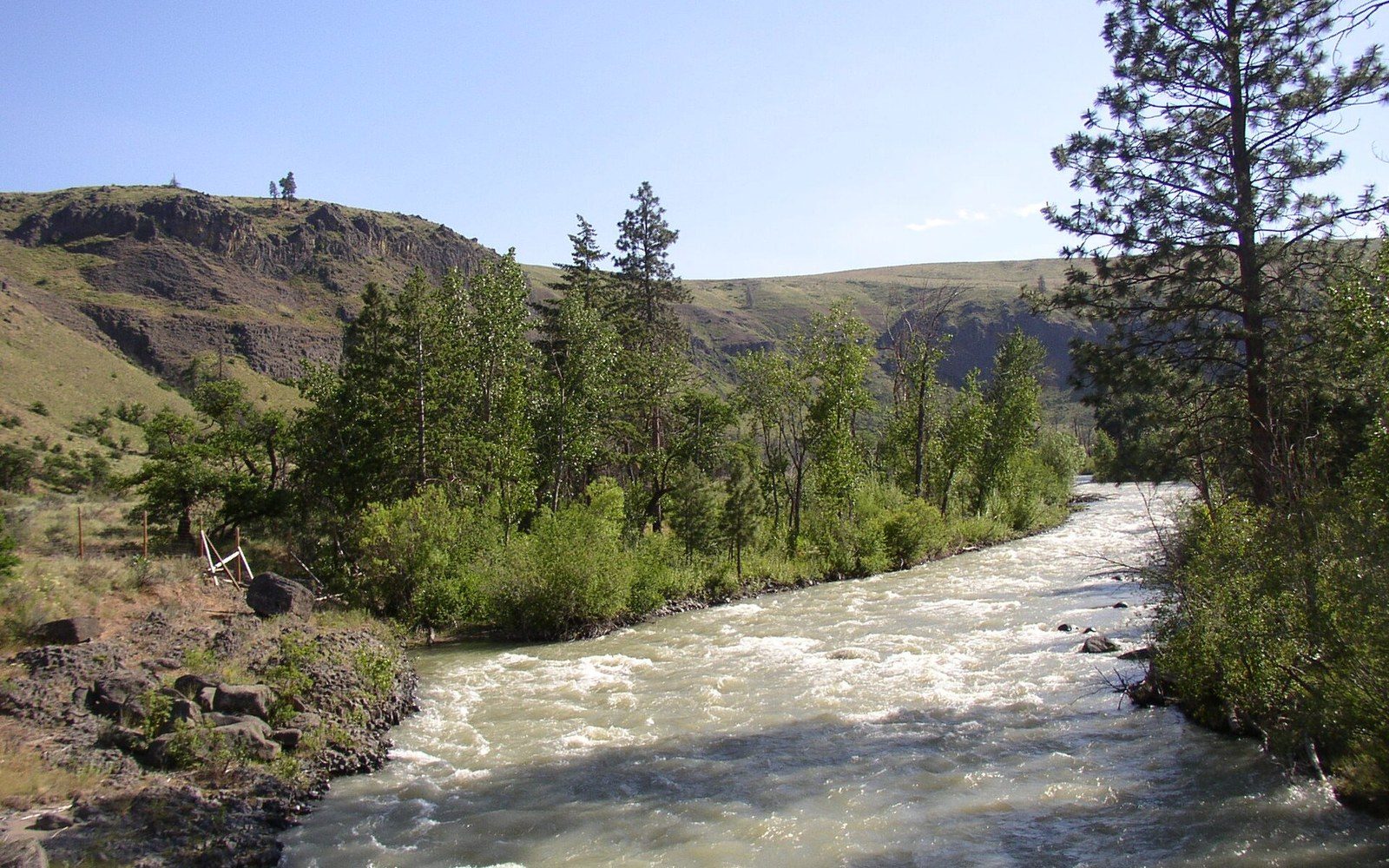
Photo: Tieton-River · Wikimedia Commons
Where the rain stops
The Tieton River drains east out of the Cascades into the Yakima River, and by the time it reaches Tieton River Canyon the climate has already shifted. Annual precipitation on the western slopes of the range can exceed one hundred inches; the Tieton corridor receives a fraction of that. The rainshadow is abrupt and cartographically decisive, and it shaped this crag's entire history.
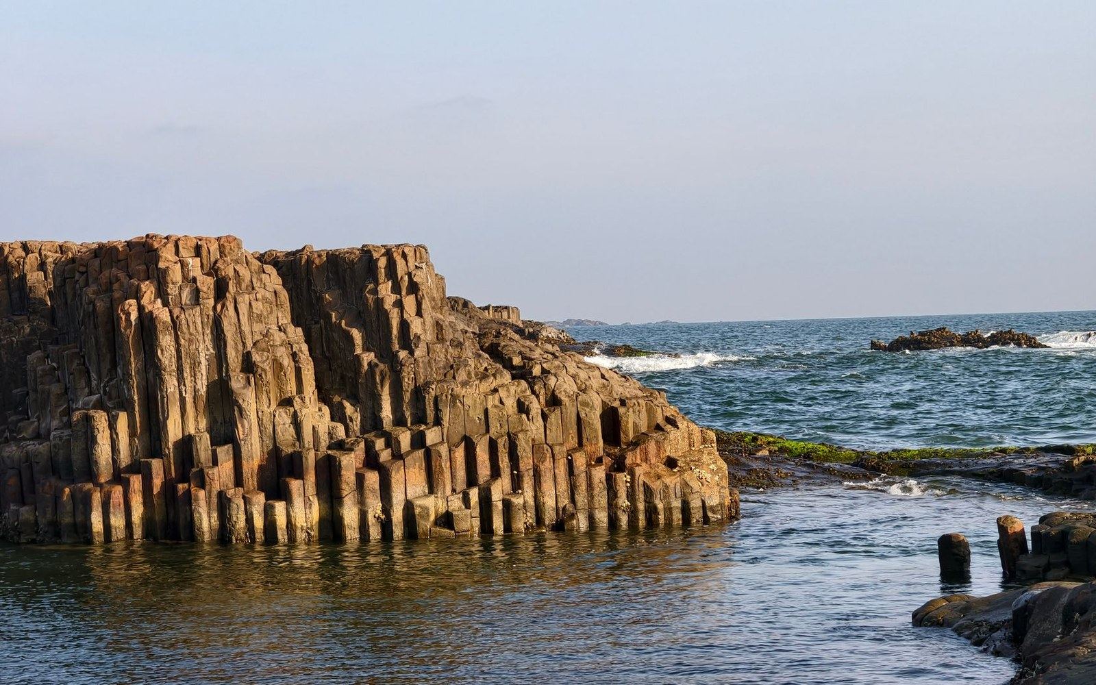
The Royal Columns are a formation of columnar basalt ↗ — the same volcanic rock type visible at Frenchman Coulee near Vantage and at the Tieton's own broader walls — in which slow cooling caused the lava to fracture into regular polygonal columns. The Columbia River Basalt Group, the sequence of flood basalt flows that buried much of eastern Washington in successive eruptions, is the geological parent of all these formations. Where the Cascades have been cut by river canyons, that basalt is exposed in vertical faces, and the Royal Columns are among the most compact and consistently featured of those exposures.
Chronology
- Columbia River Basalt Group flood flows: Miocene epoch, the geological foundation of all eastern Washington basalt crags
- The Mountaineers founded: Seattle, 1906institutional anchor of western Washington climbing documentation
- Beckey's Cascade Alpine Guide: compiled across decades of the twentieth century, primary published record for Tieton Canyon formations
A different roster, a different season
The dry-side location produced something the western crags could not reliably offer: climbable rock through seasons when Index, Exit 38, and the Skykomish walls were wet. Washington's climbing record west of the crest is heavily weighted toward summer, and even then the rock dries slowly after rain. The Tieton drains under open sky from early spring into late autumn. That accessibility window drew a different subset of climbers — Yakima-based parties, eastern Washington regulars, and anyone willing to cross the pass for reliable conditions — and those parties built the first-ascent record at the Columns through repeated visits across decades.
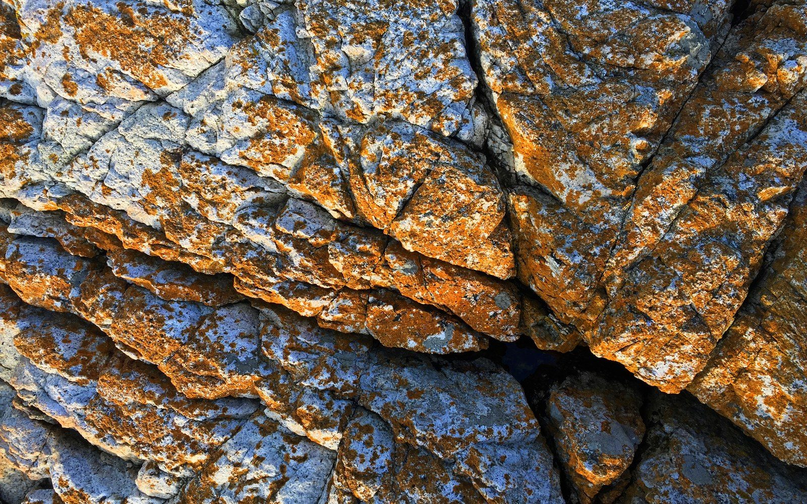
The route catalog at the Royal Columns runs to dozens of lines on the basalt faces and towers. The rock's columnar structure produces a distinctive crack geometry: parallel vertical seams that follow the column edges, interrupted by horizontal breaks where columns meet at different heights. That geometry rewards a specific technical repertoire, and the routes documented in Fred Beckey's Cascade Alpine Guide reflect climbers working systematically through what the formation offered rather than seeking a single landmark summit. Beckey's three-volume guide, compiled over decades and published by The Mountaineers Books ↗, remains the primary written record for Tieton Canyon crags, placing each formation within the broader eastern Cascades inventory.
First ascents at dry-side crags like the Royal Columns tend to be attributed to climbers whose names appear less frequently in the western Washington record. The rainshadow geography created something close to a separate community of practice, linked to Yakima and the Columbia Basin rather than to Seattle and The Mountaineers' institutional orbit. That orbit, centered on a club founded in Seattle in 1906 ↗, dominated the written record of the western peaks and passes. The Tieton's first-ascensionists were often working outside that documentation network, and the historical record there is correspondingly thinner in institutional detail even where the climbing itself was systematic.
Formation and geography
- Royal Columns: columnar basalt, Tieton River Canyon, eastern slope of the Cascades
- Tieton River: drains east into the Yakima River; rainshadow canyon, low annual precipitation relative to western slopes
- Columbia River Basalt Group: flood basalt sequence underlying Frenchman Coulee, Tieton walls, and related eastern Washington formations
- Columnar basalt crack geometry: vertical seams along column edges, horizontal breaks between columns — determines route character throughout the formation
The canyon also contains Castle Rock — a distinct formation above Leavenworth's Tumwater Canyon to the northwest shares that name — and the broader Tieton walls, which extend the basalt exposure across several miles of the river corridor. The Royal Columns are the most defined climbing objective within that system: a named crag with a named-route inventory, a fixed address in the canyon record, and a geology that explains both its character and its calendar.
- ●Mount Erie
- ●Index
- ●Snow Creek Wall
- ●Castle Rock
- ●Peshastin Pinnacles
- ●Exit 38
- ●Frenchman Coulee
- ▲Royal Columns
The record it left
What the Royal Columns represent in Washington climbing history is not a single landmark ascent but an accumulation: a body of routes completed under conditions the western walls couldn't match, by climbers whose access to reliable dry rock gave them a working laboratory unavailable to their counterparts across the crest. The rainshadow made the Tieton different, and the climbing record preserved at this formation is the clearest evidence of how much geography — not just geology — shaped who climbed where and when.
The Tieton River drains east out of the Cascades into the Yakima River, and by the time it reaches Tieton River Canyon the climate has already shifted.