Crags·Reference entry
Castle Rock Above Leavenworth
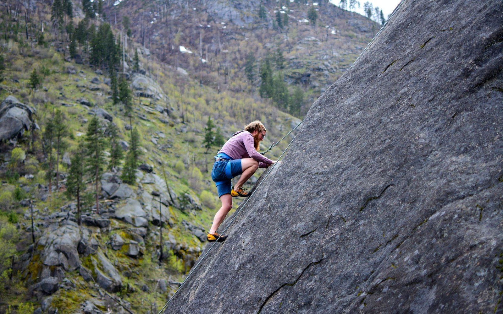
Photo: Martin / Pexels
The Crag That Came First
Castle Rock stands in Tumwater Canyon, a few miles north of Leavenworth on U.S. Highway 2, where the Wenatchee River cuts through a narrow defile of steep forested walls. The formation is a compact granite buttress rising directly above the highway corridor — visible, accessible, and solid enough to reward early exploration at a time when most Washington climbers were still oriented toward the volcanoes.
The rock belongs to the same broad granitic province that shapes the Stuart Range to the south, though Castle Rock is a roadside crag rather than an alpine objective. Its routes are short by the standards of Mount Stuart's North Ridge, but their accessibility made them significant: climbers could drive from Seattle, tie in, and log a technical route in a single day. That proximity to the highway made Castle Rock one of the first crags in the Leavenworth area to accumulate a named-route record.
The Mountaineers were active in Tumwater Canyon through the mid-twentieth century, and routes on Castle Rock appear in the climbing literature well before the Icicle Creek drainage — particularly the Snow Creek Wall — had drawn the same concentrated attention. The canyon walls offered a manageable venue for the club's members to develop crack-climbing skills on genuine granite. Early routes followed the most obvious crack systems on the main face, establishing a line of travel that subsequent parties would refine and rename over successive decades.
Chronology
- Mid-twentieth centuryThe Mountaineers active on Castle Rock; earliest named routes established
- Beckey's Cascade Alpine Guideformal documentation of Castle Rock routes, fixing first-ascent credits in the regional record
- Post-Icicle developmentIcicle Creek drainage (Snow Creek Wall, etc.) overtakes Tumwater Canyon as primary Leavenworth crag destination
Fred Beckey's Cascade Alpine Guide documents Castle Rock within the Leavenworth-area survey, giving it the same systematic treatment — formation name, route name, first-ascent party, estimated difficulty — that Beckey applied to crags and walls across the state. That documentation fixed the crag's position in the formal record. Without the guide's reach, many early ascents on roadside formations like this one would have survived only in club logs or oral tradition.
The formation's character is compact and moderate. The canyon setting means the rock receives afternoon shade in summer, and the Wenatchee River noise rises up from below — conditions that made Tumwater Canyon attractive to climbers who found the exposed alpine venues farther south and west more committing than they wanted on a weekend. Castle Rock served, in this sense, as an introduction to Leavenworth granite.
By the time the Icicle drainage became the dominant focus of Leavenworth climbing, Castle Rock had already generated its own layered history: routes credited, routes renamed, grades revised as standards shifted. The Mountaineers had been there, Beckey had catalogued it, and the crag's place in the regional record was established.
What the crag is
- Castle Rock — granite buttress in Tumwater Canyon, U.S. Highway 2, north of Leavenworth
- Formation — part of the broad granitic province shared with the Stuart Range; roadside rather than alpine in character
- Setting — Wenatchee River below; afternoon shade in summer; short approach from highway
- ●Mount Erie
- ●Index
- ●Snow Creek Wall
- ▲Castle Rock
- ●Peshastin Pinnacles
- ●Exit 38
- ●Frenchman Coulee
- ●Royal Columns
The rock belongs to the same broad granitic province that shapes the Stuart Range to the south, though Castle Rock is a roadside crag rather than an alpine objective.