Land·Reference entry
The Mountaineers, 1906, and the Book That Catalogued the Range
Photo: dana hamburg / Pexels
A club, a press, and a systematic record of who climbed what first
The Mountaineers was founded in Seattle in 1906, the same decade that American mountaineering was beginning to think of itself as an activity worth documenting. The founding roster included faculty from the University of Washington, professionals from the growing city, and people who had already spent serious time on the slopes of Rainier and the Olympics. Their first formal outing went to the Olympics. Their first publication appeared within a few years. Neither fact is incidental: the club's identity was archival from the start, not merely athletic.
Over the following century, The Mountaineers evolved into one of the largest mountaineering organizations in the United States — running courses, lobbying for land protection, and operating a press. The Mountaineers Books ↗ became the publishing arm that gave the institution its most durable legacy, and the most significant object that press ever issued was Fred Beckey's three-volume Cascade Alpine Guide. The volumes appeared across several decades — the first covering the Columbia River to Stevens Pass, the second Stevens Pass to Rainy Pass, the third Rainy Pass to Fraser River — and together they constitute the most complete first-ascent record any American mountain range carries.
Chronology
- 1870Hazard Stevens and P. B. Van Trump make the first documented ascent of Mount Rainier
- 1906The Mountaineers founded in Seattle
- 1916Washington Alpine Club founded
- 1940First ascent of Forbidden Peak
- 1946Fred Beckey climbs Liberty Bell Mountain (first ascent)
- 1973First volume of Cascade Alpine Guide published by The Mountaineers Books
- 1976Alpine Lakes Wilderness designation affects range of formations in the Guide's record
Fred Beckey and the problem of documenting a range this large
Beckey was not a Mountaineers creature. He was a Seattle-raised climber who made his first significant ascent as a teenager and spent the following six decades accumulating first ascents at a rate no other American climber has matched. His relationship with organized institutions was characteristically independent. Yet the Cascade Alpine Guide appeared under the Mountaineers Books imprint because no other publisher had either the local knowledge or the willingness to commit to a project of that scope and duration. The partnership was practical on both sides.
The Cascades presented a genuine documentary problem. The range runs roughly seven hundred miles through Washington and Oregon, carrying more glaciers than any other contiguous American mountain system ↗, dozens of named formations documented only in club journals or trip reports, and a first-ascent record that had accumulated piecemeal through The Mountaineers' own Bulletin, the Mountaineer annual, and the journals of the Washington Alpine Club. Beckey gathered that scattered record into a single referenced archive. The Guide credits named parties and named dates for peaks and routes across the entire range — from Goat Rocks to the North Cascades, from roadside crags to the remote formations of the Picket Range.
What makes the Guide a document rather than merely a guidebook is its systematic attribution. Each entry states who climbed a route first, and when. Hazard Stevens and P. B. Van Trump receive credit for the 1870 Rainier summit. The 1906 founding year of The Mountaineers sits inside the same historical frame as first ascents on Mount Baker and the Stuart Range that the club organized in its early decades. Beckey's own ascents — and there are hundreds of them, ranging from Liberty Bell Mountain in 1946 to lesser-known formations in the Picket Range — appear in the same format as everyone else's. The Guide does not editorialize; it records.
What the Guide is (and is not)
- A systematic first-ascent record, not a how-to manual
- Three volumes organized by geography: Columbia River to Stevens Pass / Stevens Pass to Rainy Pass / Rainy Pass to Fraser River
- Credits named parties and dated first ascents across the full Cascade Range
- Draws on Mountaineers archives, Washington Alpine Club records, USGS survey data, and Forest Service elevations
The Mountaineers as the institution that made the record possible
The club's role as document-keeper preceded Beckey's Guide by decades. The Mountaineers ↗ kept meeting minutes, published annual reports, and maintained a climbing record that became the evidentiary base for much of what Beckey could verify. When the club organized summit climbs of Shuksan, or took parties up the Snow Creek drainage toward what would become the Enchantments basin, those trips generated written records. The first ascent of Forbidden Peak in 1940, the early routes on Castle Rock above Leavenworth, the documentation of Prusik Peak and its name — all of this passed through club records before it passed into the Guide.
The Washington Alpine Club contributed a parallel archive. Founded in 1916 and operating alongside The Mountaineers, it documented ascents that club-based parties conducted independently, particularly in the Tieton country and the eastern slopes of the Cascades. Beckey drew on both bodies of evidence, and the Guide cites them when they are the primary source.
The Mountaineers Books published the first volume of the Cascade Alpine Guide in 1973. Revised editions followed as new ascents were added to the record and as survey data improved. The Forest Service and the National Park Service supplied elevation figures; the U.S. Geological Survey provided the topographic base. Beckey synthesized all of it into prose that is characteristically spare — a style that suits a document meant to be accurate rather than literary.
His relationship with organized institutions was characteristically independent.
What the record contains, and what it means
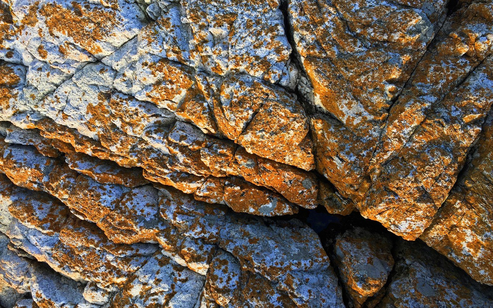
The range the Guide catalogues is not homogeneous. The Columbia River Basalt Group produced the formations at Frenchman Coulee and the Tieton River canyon — columnar basalt cooling into regular polygonal columns. The Index batholith gave the Skykomish Valley its steep granite walls. The Stuart batholith formed Mount Stuart and its surrounding peaks from coarse intrusive rock quite distinct from the finer grain at Darrington. Mount Shuksan stands as a metamorphic outlier in a volcanic neighborhood. The Guide treats each formation on its own geological terms, noting rock type where it is relevant to the first-ascent history.
The institutional infrastructure the Guide documents is also worth naming. Rainier Mountaineering Inc. formalized guided access on Rainier's standard routes. The Washington Climbers Coalition later took on access questions that the Guide itself cannot address, since the Guide records the past rather than negotiating the present. The 1976 Alpine Lakes Wilderness designation affected which formations fell under Forest Service jurisdiction and which under the new wilderness regime — a distinction Beckey's revised volumes acknowledge.
What the Guide does not do is tell anyone how to climb a route. That is the crucial distinction between a document and an instruction. The first-ascent record is a historical claim: this party, on this date, climbed this line for the first time anyone had done so in the recorded history of the range. The Guide advances those claims systematically, across three volumes, for an American mountain range whose complexity — geological, geographical, administrative — makes the task genuinely difficult.
The Mountaineers, as institution and press, made the task viable by maintaining the underlying archive and by committing to a multi-volume project that took decades to complete. The result is the closest thing American mountaineering has to a comprehensive primary source for a single range: a record of the peaks, the routes, and the people who first climbed them, bound in three volumes and kept in print by the organization that has been cataloguing Washington climbing since 1906.