Land·Reference entry
The Index Batholith: Where the Rock Came From
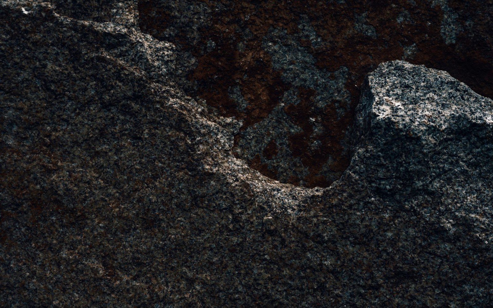
Photo: Alfo Medeiros / Pexels
A Mass of Cooled Magma, Named for a Town
The rock at Index does not look like most Cascade stone. Where the range is built largely from volcanic flows and metamorphic remnants, the walls above the Skykomish Valley expose something older and deeper — a batholith, a large body of intrusive igneous rock that solidified slowly beneath the surface as magma cooled over millions of years. That body is the Index batholith, and it is the geological reason the Index Town Walls exist in the form they do.
Batholiths form when magma rises toward the surface but never breaches it. Instead, it stalls at depth, crystallizing under pressure into coarse-grained rock. The overlying material erodes away across geologic time, eventually exposing the intrusion at the surface. At Index, that process left sheer, clean walls of granodiorite — a rock similar to granite but with a higher proportion of plagioclase feldspar — rising hundreds of feet above the valley floor where the North Fork Skykomish River runs.
The Index batholith is broadly Eocene in age, emplaced roughly 34 to 36 million years ago during a period of significant tectonic compression along the Pacific margin of North America. This timing places it among a suite of intrusive bodies scattered across the northern Washington Cascades, formed as the region's crust thickened and magma bodies intruded the overlying rock. The result is a geologically well-documented ↗ package of intrusive rocks exposed across several drainages, with the Index body among the most prominent at the surface.
Chronology of the rock
- ~34–36 million years agoIndex batholith emplaced during Eocene tectonic compression
- Pleistocenevalley glaciers steepen the exposed walls via quarrying and erosion
- 20th century onwardroutes established on the resulting formation
Why This Rock Climbs the Way It Does
The character of Index climbing — its friction, its crack geometry, its abrasive surface texture — follows directly from the batholith's mineralogy and cooling history. Because the magma cooled slowly at depth rather than rapidly at the surface, its crystals had time to grow large. The resulting rock is coarse-textured, with visible interlocking grains of quartz, feldspar, and hornblende. That crystal structure creates the rough, high-friction surface that climbers at the Lower Town Wall have worked against and relied upon since routes were first established on the formation.
Crack systems at Index derive from jointing — the network of fractures that develops in any large igneous body as it cools and contracts, and later as pressure is relieved by the removal of overlying rock. At Index, the dominant joint sets run largely vertical, producing the straight, parallel cracks that characterize the wall's most significant routes. These are not random fissures but the predictable geometry of a cooling plutonic mass, expressed at the scale of a cliff face. The same physics that governed the rock's formation underground now governs the line every route follows on its surface.
The Index batholith also differs meaningfully from the granite of the Darrington area to the north, where a separate plutonic body — the Darrington pluton — produces rock of notably different texture and composition. The Index rock tends toward a darker, more uniform face with sharper crack edges; Darrington granite weathers differently, with a more exfoliating character. Both are intrusive igneous rocks, but they are not the same rock, and climbers who have worked both areas have consistently noted the distinction in how each takes protection and how each wall behaves underfoot.
Geology in brief
- Batholith — large intrusive igneous body, cooled slowly at depth; produces coarse-grained rock
- Granodiorite — the specific rock type at Index; more plagioclase feldspar than true granite
- Jointing — the fracture network in cooled igneous rock; at Index, dominantly vertical, producing the crack systems
- Darrington pluton — a separate intrusive body to the north; different texture and weathering behavior from the Index batholith
The steepness of the Index Town Walls — the Lower Town Wall in particular — is partly a function of the batholith's jointing geometry and partly a consequence of glacial erosion during the Pleistocene. Valley glaciers moving through the Skykomish drainage quarried against the exposed rock, steepening the walls and removing material that might otherwise have produced a more broken, ledgy face. What glaciation left behind was a formation suited, by accident of geology and ice, to the vertical climbing the area became known for.
Understanding the Index batholith as a geological object — its age, its composition, its structural geometry — gives the climbing record a foundation it otherwise lacks. The routes are historical facts; the rock that carries them is older than the range's own topography, emplaced tens of millions of years before the Skykomish River cut the valley that now frames the walls above it ↗. The climbing happened at the surface. The reason for the surface runs much deeper.
Batholiths form when magma rises toward the surface but never breaches it.