Four towers stand above the highway at 5,477 feet. The first of them went in 1946.
Fred Beckey, Charles Welsh and Jerry O’Neil climbed Liberty Bell Mountain in September 1946. The road beneath it did not open for another twenty-six years.
- 01Mount ShuksanPeaks & Routes
- 02North Cascades National ParkLand
- 03Liberty BellPeaks & Routes
- 04Early Winter SpiresEnchantments
- 05Forbidden PeakPeaks & Routes
- 06DarringtonDarrington
- 07Three O'Clock RockDarrington
- 08Mount ErieCrags
- 09IndexCrags
- 10Glacier PeakPeaks & Routes
- 11Prusik PeakPeaks & Routes
- 12Snow Creek WallCrags
- 13Castle RockCrags
- 14Peshastin PinnaclesCrags
- 15Mount StuartPeaks & Routes
- 16Exit 38Crags
- 17Frenchman CouleeCrags
- 18Royal ColumnsCrags
- 19Mount RainierPeaks & Routes
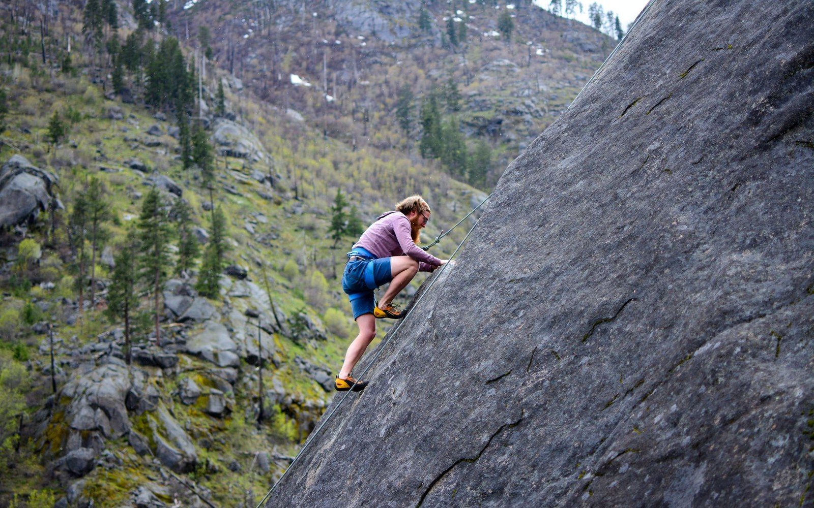
Photo: Castle Rock, Icicle Canyon · Wikimedia Commons
Four miles of granite line the Icicle above Leavenworth, and the record of who climbed it first runs back to the 1930s.
Castle Rock →Rock you can reach before the coffee goes cold
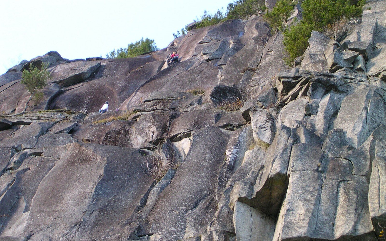
Index, the Icicle above Leavenworth, Exit 38 and Little Si on the Interstate 90 corridor, Mount Erie above Anacortes, the Royal Columns in the Tieton, Peshastin Pinnacles, Frenchman Coulee out on the Columbia. Most are within two hours of a city.
- Index Town Walls Lower Town Wall · Godzilla
- Castle Rock Tumwater Canyon
- Snow Creek Wall Outer Space, 1960
- Frenchman Coulee the Feathers · basalt
- Royal Columns Tieton River
The summits, and the men and women who signed them first
Fred Beckey’s name sits on more Washington first ascents than anyone’s. The Beckey Route on Liberty Bell went in September 1946; the North Ridge of Stuart, the West Ridge of Forbidden and Liberty Ridge on Rainier are the other lines the state is known by.
- Liberty BellBeckey Route1946
- Mount RainierLiberty Ridge1935
- Forbidden PeakWest Ridge1940
- Mount StuartNorth Ridge1956
- Early Winter SpiresSouth Arete1942
- Prusik PeakSouth Face1957
Slab country above the Sauk
Three O’Clock Rock, Exfoliation Dome and Squire Creek Wall stand behind Darrington: low-angle granodiorite scoured by ice and climbed on friction.
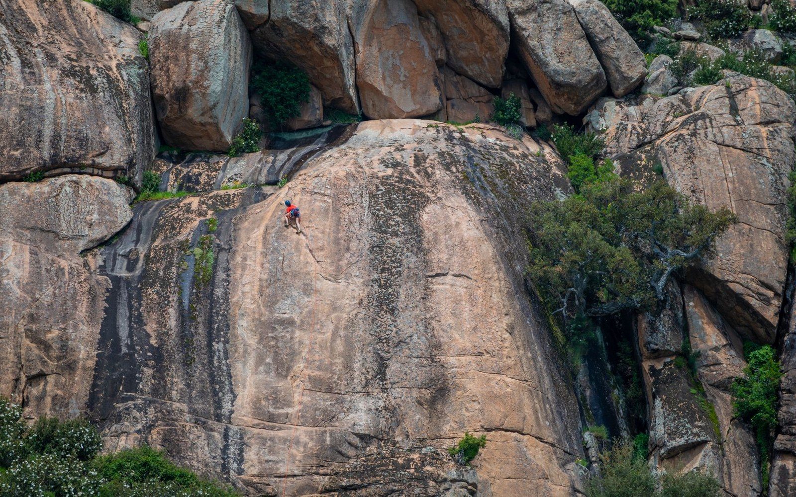
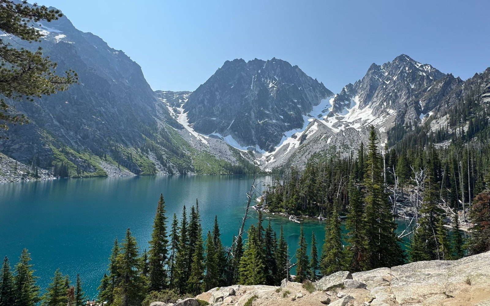
Photo: Nathan Steele / Pexels
A basin named for its own scenery
Enchantments →Who owns the rock, and since when
Designation by designation, the record of who came to own the rock.
- 1964Wilderness ActGlacier Peak Wilderness comes under it
- 1968North Cascades National ParkPasayten Wilderness designated the same year
- 1972State Route 20 completedThe highway reaches Washington Pass, 26 years after the Beckey Route
- 1976Alpine Lakes WildernessA boundary drawn around the Enchantments
- 1980Mount St Helens erupts18 May; the mountain closes to climbers
- 1984Mount Baker Wilderness
- 1987St Helens reopenedSeven years after the eruption
- 1991Peshastin PinnaclesBecomes a state park
- 2010Lower Town Wall boughtThe Washington Climbers Coalition takes title at Index
A club, a press and three volumes
The Mountaineers were founded in Seattle in 1906 and became the publisher of Beckey’s Cascade Alpine Guide — the most complete record any American range has.
Sandstone among the granite
Peshastin Pinnacles, fins of Chumstick sandstone above Cashmere, climb unlike anything else in the state and became a state park in 1991.
The five volcanoes, in order of height
Rainier 14,411 · Adams 12,281 · Baker 10,781 · Glacier Peak 10,541 · St Helens 8,363 since 1980. Rainier was first summited in 1870.
Tending the route record with us
Clubs and archives that share a rope with this record.