Peaks & Routes·Reference entry
Rainier from the North: Liberty Ridge and the 1935 Line
The standard route goes south. The significant one goes north.
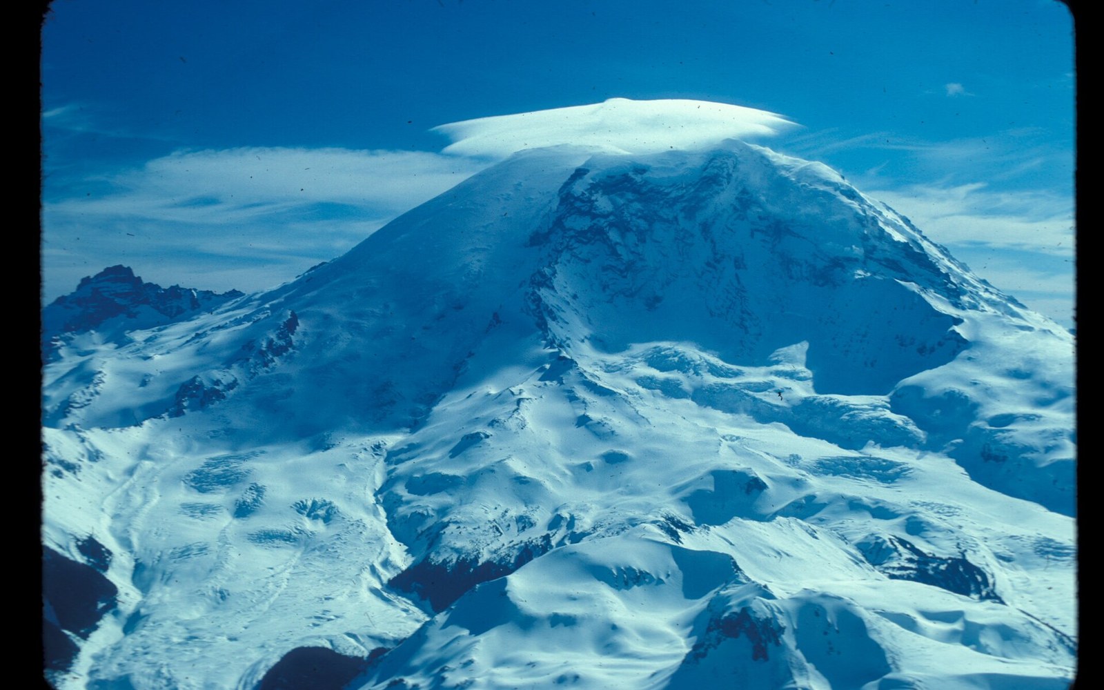
Photo: Little Tahoma. Summit under cloud. Willis Wall. Carbon Glacier. Liberty Ridge. 31978. slide (de885b90a46043f080124c4163d7802f) · Wikimedia Commons
The Ridge as Geography
Mount Rainier's summit stands at 14,411 feet above sea level, and the mountain presents a different face in every direction. The south side — the approach through Paradise and Camp Muir — is the one most climbers have ever seen. Liberty Ridge faces north and northwest, rising from the Carbon Glacier headwall toward the summit icecap along a narrow rock-and-ice arête that separates the Willis Wall to the east from the Liberty Cap Glacier to the west. It is among the most committing lines on the mountain.
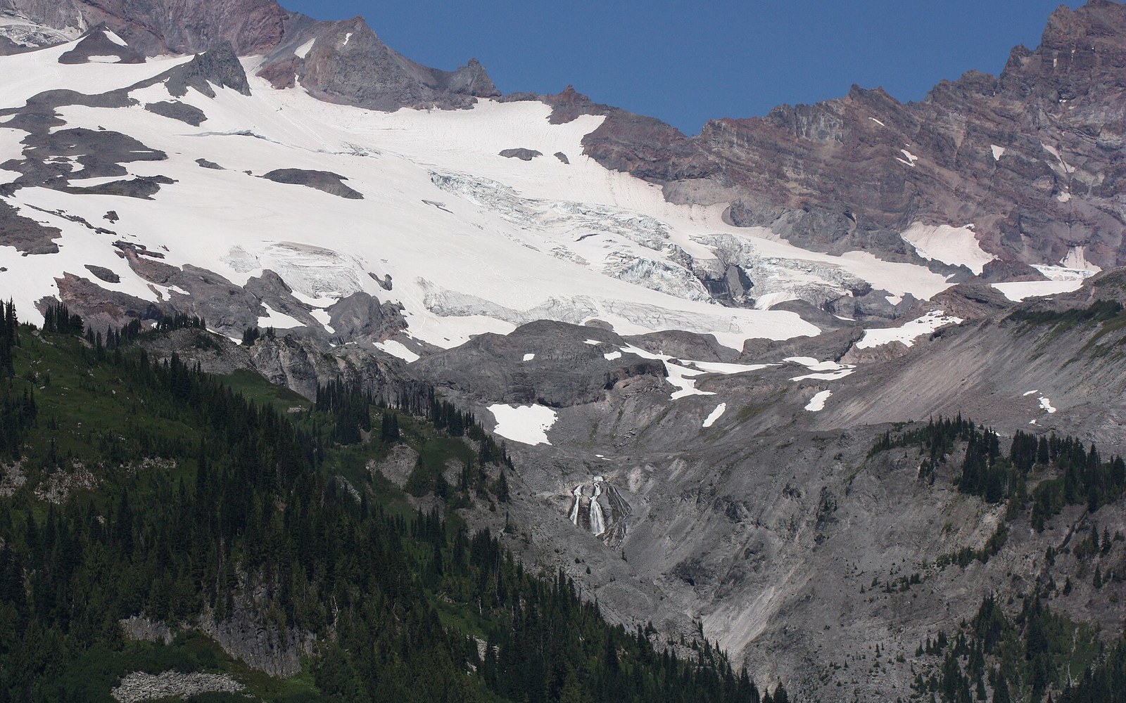
The Carbon Glacier is the lowest-elevation glacier in the contiguous United States by terminus, descending far into the old-growth forest of the park's north side. Liberty Ridge rises above it steeply, gaining roughly 6,000 feet from base camp on the glacier to the summit of Liberty Cap at approximately 14,112 feet. The route crosses no terrain that forgives errors in judgment. Seracs on the Willis Wall above the ridge have produced ice avalanches that reach the route; the Carbon Headwall is swept regularly. The ridge holds its character as an objective hazard, not merely a steep trail.
Mount Rainier ↗ is a stratovolcano — layered lava flows and volcanic breccia built over geologic time — and Liberty Ridge is composed of that same volcanic rock beneath its ice. At the elevations the ridge occupies, exposed rock alternates with glacial ice and hard snow throughout the climbing season. The line is an alpine route in the full sense: mixed terrain, significant glaciation, and weather that builds from the Pacific without warning.
Chronology
- 1870Hazard Stevens and P. B. Van Trump: first documented Rainier summit, south side
- 1890Fay Fuller: first woman to summit Rainier, south-side route
- 1906The Mountaineers founded in Seattle
- August 30, 1935Ome Daiber, Arnie Campbell, Jim Borrow: first ascent of Liberty Ridge
The 1935 Ascent
The first ascent of Liberty Ridge was completed on August 30, 1935, by Ome Daiber, Arnie Campbell, and Jim Borrow. All three were Washington climbers, and Daiber in particular was a figure in Pacific Northwest mountaineering through the 1930s and beyond — a founding member of Mountain Rescue and involved in early avalanche-safety work in the state. The 1935 party approached from the north, crossed the Carbon Glacier, and climbed the ridge to Liberty Cap before traversing to the true summit crater rim.
By 1935, Rainier had a long first-ascent record already behind it. Hazard Stevens and P. B. Van Trump made the documented first summit in August 1870, via the south side. Fay Fuller reached the top in 1890, the first woman credited in the record. The standard route through Camp Muir had been climbed hundreds of times by the 1930s, and the mountain's south and east approaches were well understood. Liberty Ridge represented something different — the steep, glaciated north face, largely left alone because the Carbon Glacier approach was remote and the ridge above it was genuinely dangerous by the standards of the period.
The Mountaineers, founded in Seattle in 1906, had documented much of the Cascade first-ascent sequence by then, and the Rainier record was central to their institutional history. But Liberty Ridge came from outside the organized club structure, completed by a small party moving on an objective that had been visible to every north-side observer for decades. The line waited until climbers with the technical experience and the commitment to the approach arrived together.
Key elevations
- Mount Rainier summit: 14,411 feet
- Liberty Cap: approximately 14,112 feet
- Elevation gain on Liberty Ridge from Carbon Glacier base: roughly 6,000 feet
- Carbon Glacier: lowest-terminus glacier in the contiguous United States
Position in the Record
Fred Beckey's Cascade Alpine Guide — the reference against which Washington route histories are measured — treats Liberty Ridge as the defining north-side route on Rainier, distinct in character and commitment from every other line on the mountain. The ridge appears in the Rainier section not as a variation but as an independent route with its own history and its own hazard profile.
The National Park Service administers all climbing on Rainier through a permit system established decades after the 1935 ascent, and Liberty Ridge sits within Mount Rainier National Park, a separate unit from North Cascades National Park. The 1935 party climbed with no permit requirement and no institutional oversight. What they left was a named line in the record, on a face of the mountain that the standard route never touches.
The Carbon Glacier is the lowest-elevation glacier in the contiguous United States by terminus, descending far into the old-growth forest of the park's north side.