Peaks & Routes·Reference entry
Glacier Peak: The Cascade Volcano Nobody Sees from a Road
Washington's most remote major volcano sits behind three wilderness ridges — its obscurity is not an oversight but a measurement.
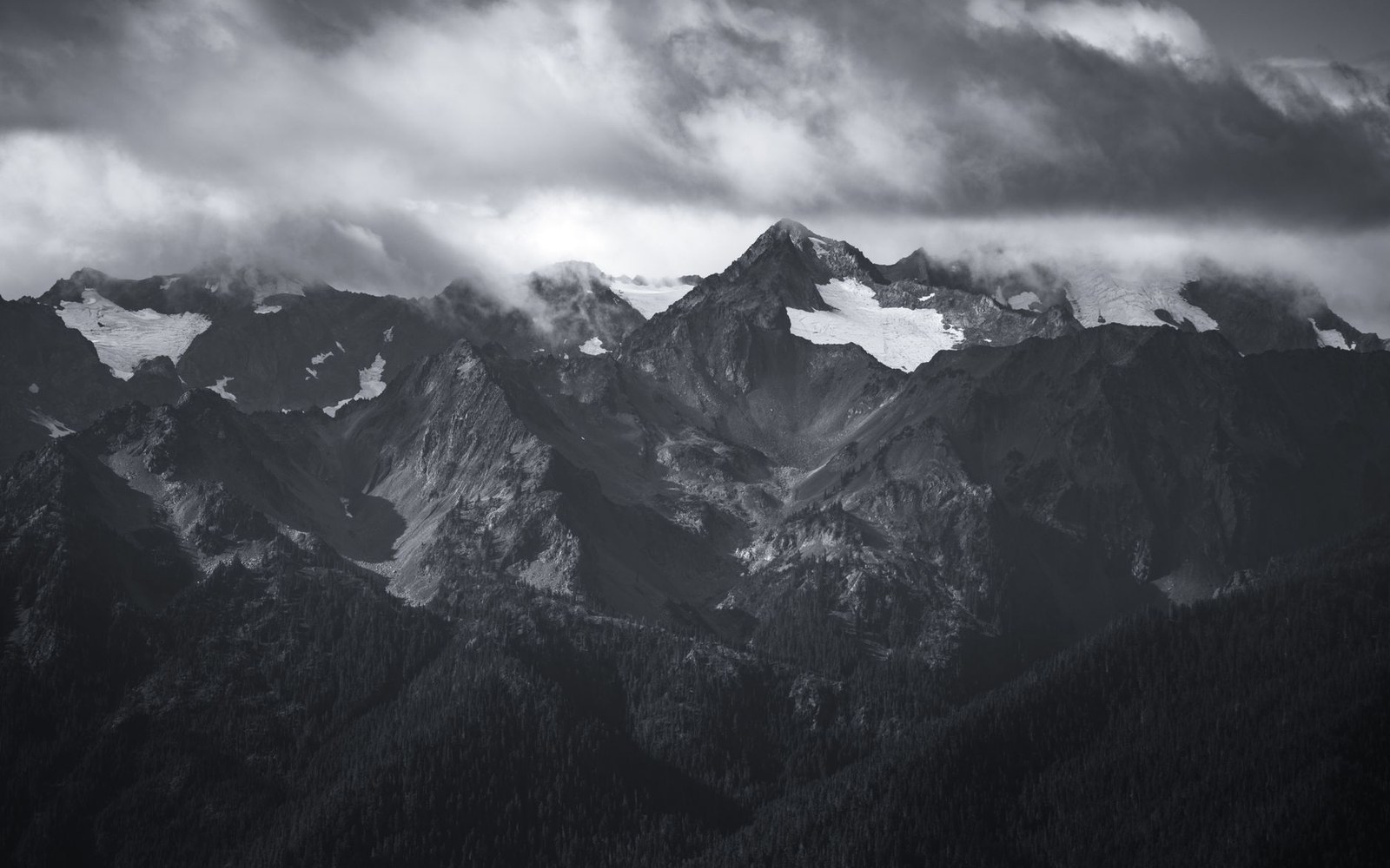
Photo: Alex Moliski / Pexels
The Geography of Invisibility
No paved highway passes within sight of Glacier Peak. At 10,541 feet, it is the fourth-highest summit in Washington, yet a traveler crossing the state on US-2 or SR-20 will not see it unless the sky is clear and they already know where to look. Every other major Cascade volcano — Rainier, Baker, Adams, St. Helens — presents itself to a road. Glacier Peak withholds itself behind successive ridges of the North Cascades, and that withdrawal is simply what the topography produces.
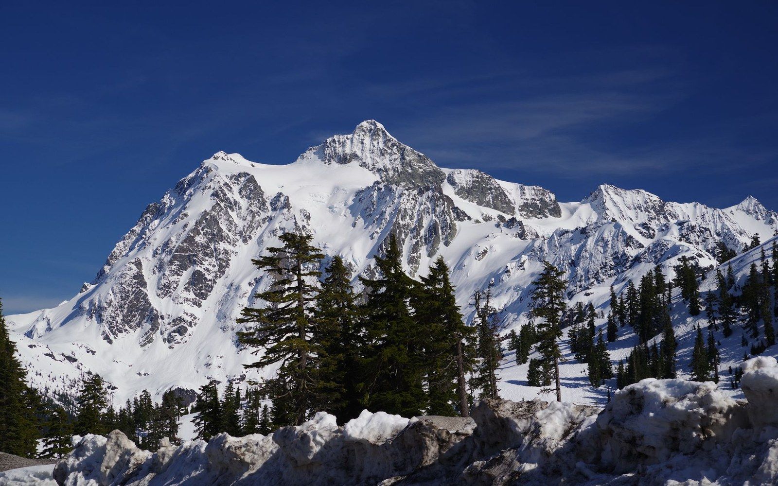
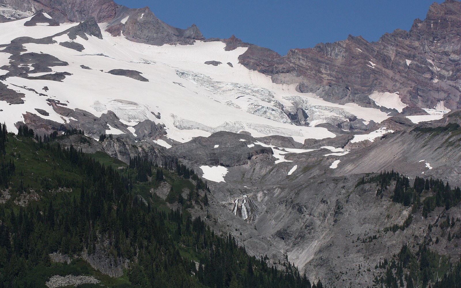
The volcano is a dacite stratovolcano, geologically young and capable of eruption, listed by the U.S. Geological Survey among Washington's potentially active volcanic centers ↗. Its flanks carry more than a dozen named glaciers, among them the Sitkum, the Dusty, and the Cool. The Sauk and Suiattle rivers drain its slopes westward and eastward respectively, both beginning as glacial meltwater and both running for miles through forest before reaching a road.
The Climbing Record
The first ascent is credited to Thomas Gerdine of the U.S. Geological Survey in 1898, a practical summit claimed in the course of mapping rather than for any sporting purpose. Mountaineering interest arrived later and slowly, the approach distances being what they are. The shortest routes require a full day of travel through dense Cascade forest before the alpine zone begins. Fred Beckey documented the peak's routes in his Cascade Alpine Guide with characteristic precision, noting approach lengths that discourage casual entry. The Mountaineers recorded organized ascents through the mid-twentieth century, but Glacier Peak never accumulated the approach infrastructure — roads, huts, established trailheads near timberline — that Camp Muir gave Rainier or that the Icicle Creek corridor gave the Stuart Range.
The Alpine Lakes Wilderness designation of 1976 protected terrain to the south; Glacier Peak Wilderness, established in 1964, enclosed the volcano itself within one of the largest wilderness areas in the contiguous United States. That designation formalized what geography had already arranged: no permanent structures, no roads penetrating toward the summit, no infrastructure softening the distance.
Its obscurity, then, is not neglect. It is the record of a mountain that the road system never reached, documented honestly in survey, in guidebook, and in the wilderness boundary drawn around it.
Key facts
- Elevation: 10,541 feet (fourth-highest in Washington)
- First ascent: Thomas Gerdine, U.S. Geological Survey, 1898
- Wilderness designation: Glacier Peak Wilderness, 1964
- Rock type: dacite stratovolcano; more than a dozen named glaciers on its flanks
- Principal drainages: Sauk River (west), Suiattle River (east)
The volcano is a dacite stratovolcano, geologically young and capable of eruption, listed by the U.S.