Land·Reference entry
Who Bought the Lower Town Wall and Why It Mattered in 2010
A private cliff became public land — and the climbing record changed with the deed.
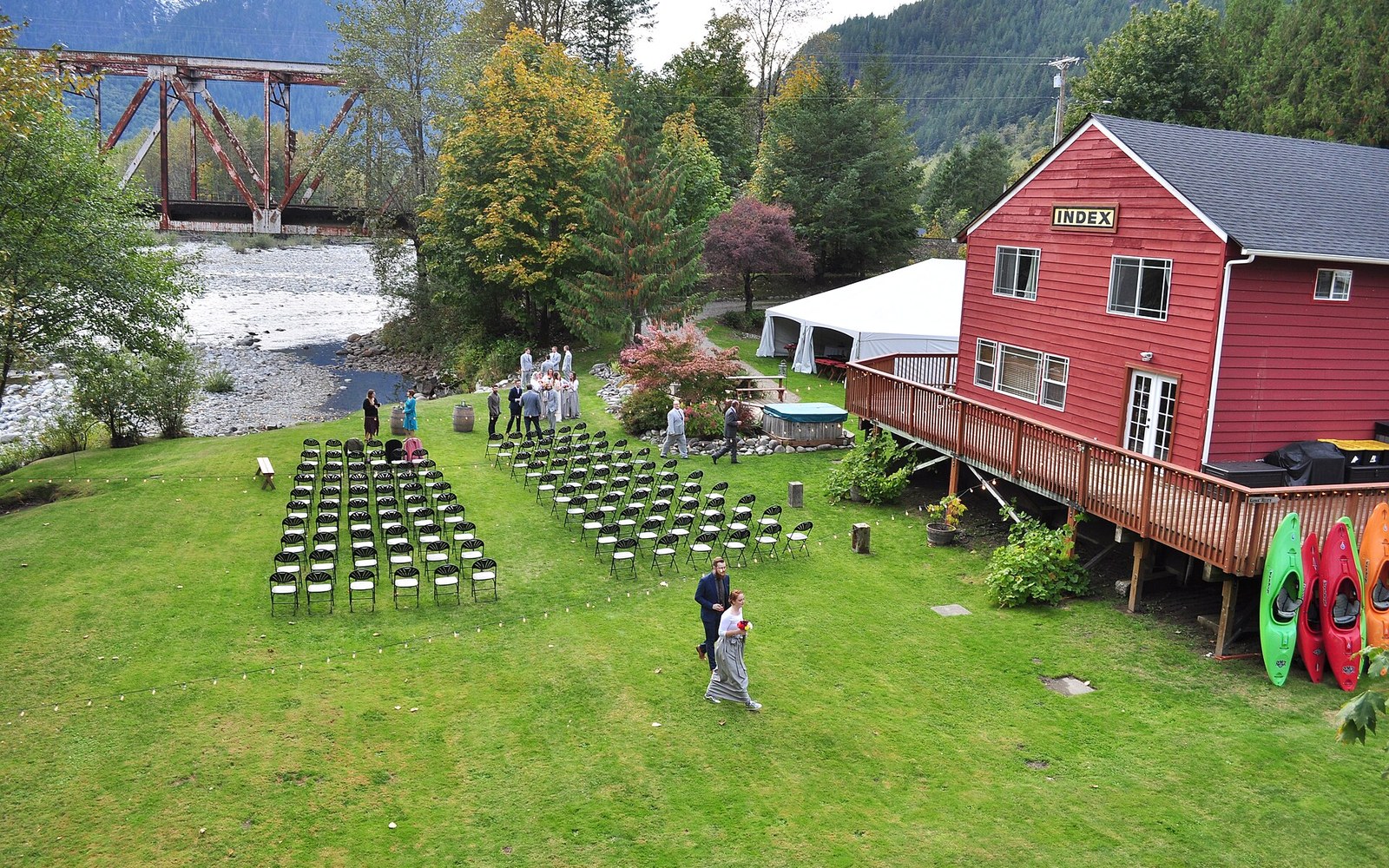
Photo: Index, WA - Adventure Rafting Company 04 · Wikimedia Commons
The Transaction
In 2010, the Index Town Walls passed from private hands into public ownership when the Washington Climbers Coalition, working alongside the Access Fund, secured the purchase of the Lower Town Wall property. The land transferred to the U.S. Forest Service, placing one of Washington's most historically significant rock climbing areas under federal stewardship for the first time.
The Lower Town Wall rises directly above the town of Index in the Skykomish Valley, its face cut into the Index batholith — the granitic intrusion that gives the rock its character and its name. Routes on that wall had been climbed, named, and documented for decades before the ownership question forced itself into the record. The cliff's private status had long created uncertainty: access depended on the tolerance of successive landowners, not on any durable public right.
The Access Fund, a national nonprofit dedicated to preserving climbing access, contributed funding to the acquisition. The Washington Climbers Coalition coordinated advocacy and negotiation on the Washington side. The Mountaineers and REI had both shaped the institutional culture that made such coalitions possible, but the 2010 purchase was the Washington Climbers Coalition's most consequential single act in the land-access record.
Chronology
- Decades prior to 2010named routes established on the Lower Town Wall under private ownership
- 2010Access Fund and Washington Climbers Coalition complete purchase; land transferred to U.S. Forest Service
Why the Boundary Mattered
Before 2010, the climbing record at Index was geographically complete but legally fragile. Named routes — Godzilla, City Park, the Japanese Gardens — existed in guidebooks and in climbers' memory, but the ground beneath them could have been closed, sold, or developed without public recourse. The transfer to the U.S. Forest Service ↗ resolved that fragility. What had been a tolerated use became a documented public right attached to federal land.
The 2010 purchase appears in the Washington climbing record as the moment the Lower Town Wall stopped being a place climbers visited by permission and became a place they visited by right — a distinction the history of the wall will carry forward indefinitely.
Key parties
- Washington Climbers Coalition — Washington-based advocacy organization; primary coordinator of the purchase
- Access Fund — national nonprofit; contributed acquisition funding
- U.S. Forest Service — received the land; now manages public access
Routes on that wall had been climbed, named, and documented for decades before the ownership question forced itself into the record.