Land·Reference entry
May 1980 and the Closure That Rewrote the Southern Cascades
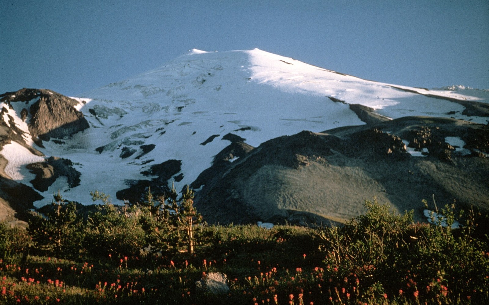
Photo: 137 Pre-eruption Mt St Helens · Wikimedia Commons
How a single eruption ended the summit record of one peak and reordered every climb around it.
Chronology
- May 18, 1980eruption removes the north flank; summit drops from approximately 9,677 ft to approximately 8,365 ft
- 1980–1986climbing closure in effect; renewed eruptive episodes continue
- 1982Congress establishes the Mount St. Helens National Volcanic Monument within Gifford Pinchot National Forest
- Post-1986limited public access returns under a permit system; new summit record begins
The Date the Record Stops
At 8:32 a.m. on May 18, 1980, Mount St. Helens erupted ↗, collapsing its north flank in the largest landslide in recorded North American history and removing roughly 1,300 feet from the summit. The mountain that climbers had reached at 9,677 feet stood afterward at approximately 8,365 feet, a figure that has shifted slightly with subsequent surveys as the lava dome inside the new crater has grown. The pre-eruption summit — a symmetrical cone popular with Pacific Northwest climbers — ceased to exist as a named, climbable objective in any form continuous with the prior record.
The eruption imposed an immediate and extensive closure across the southern Washington Cascades. The U.S. Forest Service and the state of Washington established a restricted zone encompassing the mountain and its surroundings; climbing was prohibited not for a season but for years. The closure reflected genuine hazard: renewed eruptive episodes continued through 1986, and the area remained geologically active. When limited public access eventually returned, it came under a permit system administered through the Mount St. Helens National Volcanic Monument ↗, established by Congress in 1982 within the Gifford Pinchot National Forest.
The documentary consequence is clean and permanent. Every first-ascent record for the pre-1980 summit belongs to a mountain that no longer exists at that elevation or in that form. The post-eruption peak carries its own distinct first-ascent history, beginning with climbs made after access reopened. No continuity of route connects the two eras; the eruption functioned as a hard reset in the summit record.

For Washington climbing history, Mount St. Helens is the clearest illustration of geology overriding the human record entirely. Other peaks have had routes closed by rockfall, ice recession, or land designation. Only St. Helens had its summit removed. The date — May 18, 1980 — marks the boundary in the written record as precisely as any legislation or first ascent ever has.
Helens erupted ↗, collapsing its north flank in the largest landslide in recorded North American history and removing roughly 1,300 feet from the summit.