Enchantments·Reference entry
The Basin Named for Its Own Scenery
The Enchantments earned their name before most climbers had seen them — a description that became a designation.
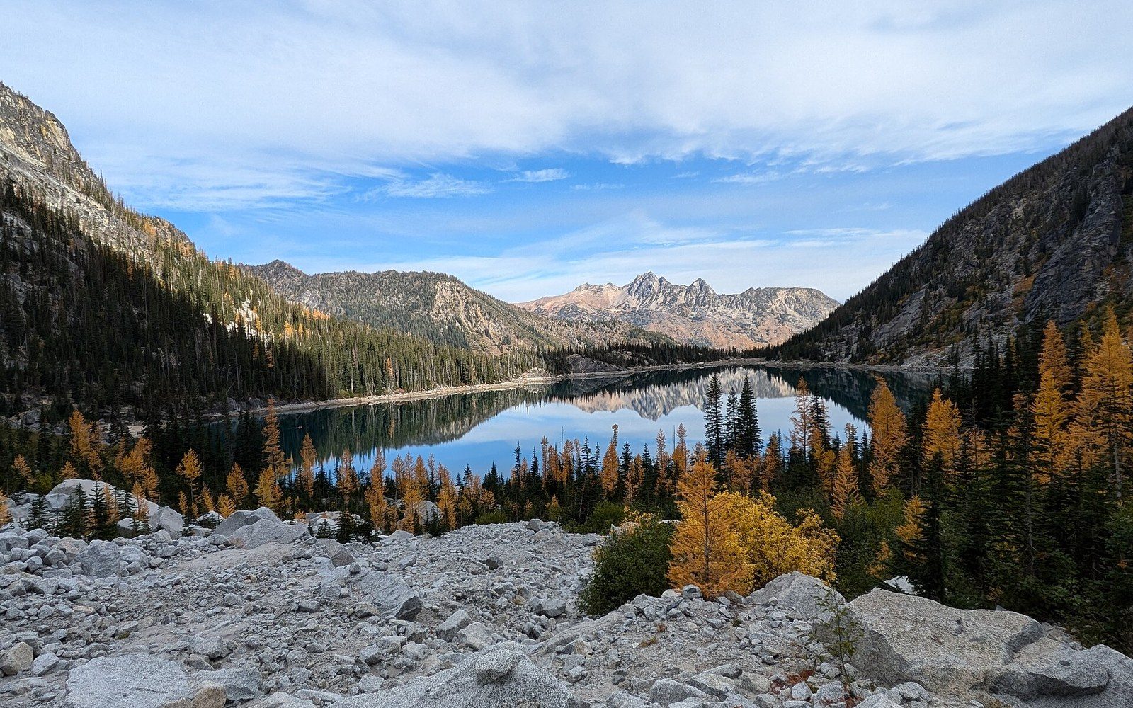
Photo: Colchuck Lake (11 October 2024) 10 · Wikimedia Commons
The Record Behind the Name
The Enchantments basin sits above the Icicle Creek drainage southwest of Leavenworth, a high granite cirque within what is now the Alpine Lakes Wilderness that holds more named spires per square mile than almost anywhere else in the state. The name itself is attributed to A. H. Sylvester, a U.S. Forest Service surveyor who worked the region in the early twentieth century and applied it to the upper basin as a straightforward act of description — enchanted, in the Victorian naturalist sense, meaning otherworldly and apart. Sylvester named dozens of features across the central Cascades; the Enchantments was among the more literal of his choices.
The granite underlying the basin is the Stuart batholith, the same coarse intrusive body that forms Mount Stuart to the west. Pressure release and glaciation have left the spires fractured and polished in roughly equal measure, and the lake-filled basin floor reads, on a survey map, as a cluster of small named water bodies sitting between larger unnamed ridgelines. Prusik Peak, the most recognizable tower, takes its name not from the basin's history but from the friction knot named for Austrian mountaineer Karl Prusik — a piece of nomenclature that arrived independently of Sylvester's survey.
The first-ascent sequence across the basin's spires accelerated in the postwar decades. Climbers based in and around Leavenworth, working outward from established areas like Snow Creek Wall and the crags of the Icicle Creek Canyon, pushed into the upper basin through the late 1940s and 1950s. Fred Beckey, whose name appears throughout the Washington first-ascent record across this entire period, contributed to that sequence here as elsewhere. The Mountaineers, founded in Seattle in 1906, documented many of the basin's early ascents in their publications and bulletins, providing the institutional record on which later guidebook authors would draw.
Chronology
- Early 20th centuryA. H. Sylvester names the Enchantments basin during U.S. Forest Service survey work
- Late 1940s–1950sPostwar first-ascent activity accelerates across the basin's granite spires
- 1976Alpine Lakes Wilderness Act encloses the Enchantments under U.S. Forest Service wilderness mandate
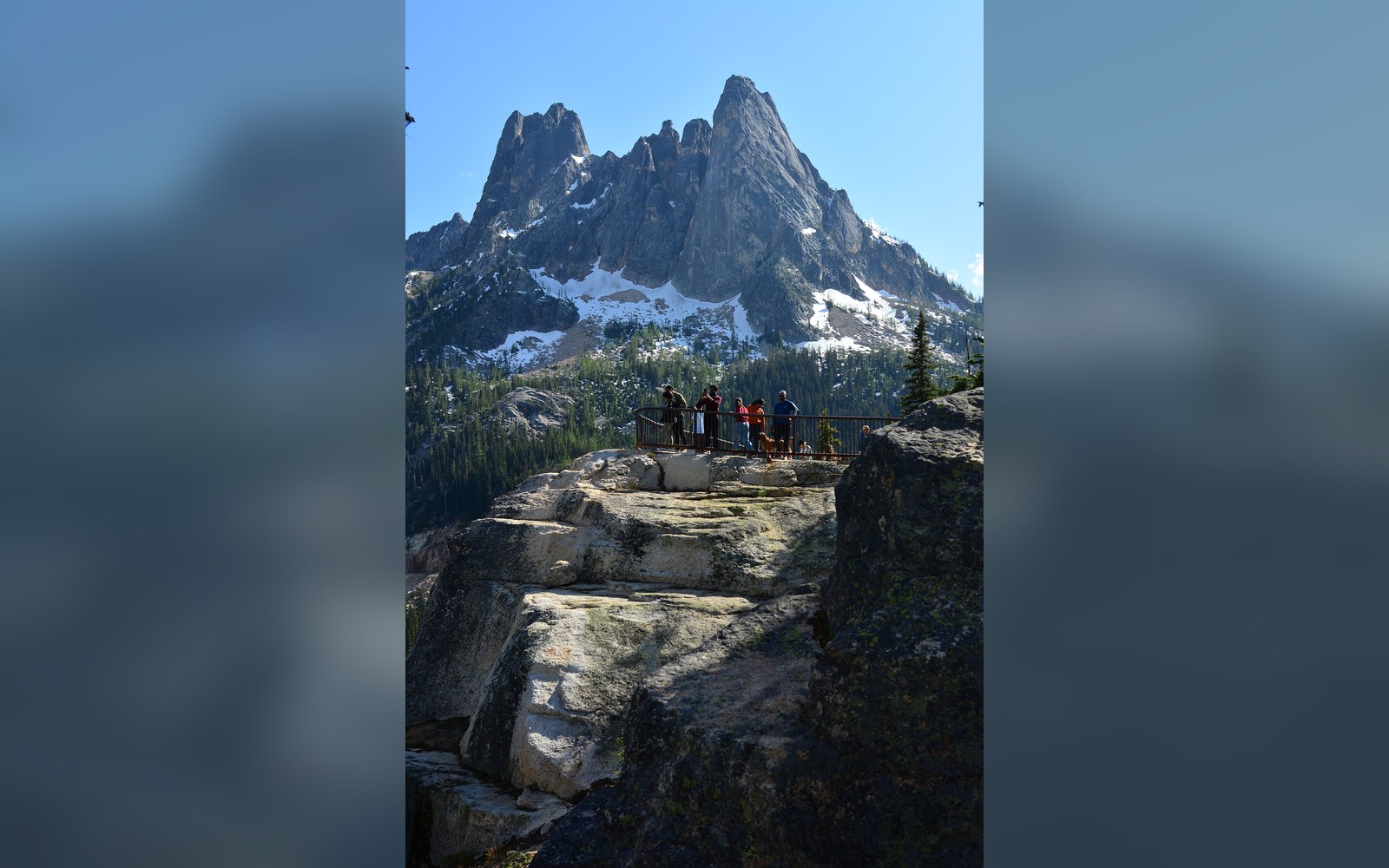
The basin passed into protected status with the Alpine Lakes Wilderness Act of 1976 ↗, which drew a boundary that enclosed the Enchantments along with the Stuart Range and several adjacent drainages. That designation shifted management to the U.S. Forest Service under a wilderness mandate and fixed, in administrative terms, the named geography that surveyors and climbers had been accumulating since Sylvester's time. The climbing record predates the legal boundary by three decades; the name predates the climbing record by several more.
What the Enchantments demonstrates, as named geography, is that the historical sequence runs surveyor, climber, administrator — and that each layer reads the basin through the lens available to it: scenery, stone, and statute.
Key figures and institutions
- A. H. Sylvester — USFS surveyor credited with naming the basin
- Fred Beckey — contributed to the first-ascent record in the basin as part of his wider Cascade career
- The Mountaineers — documented early ascents through publications and bulletins, providing the institutional record
- U.S. Forest Service — administered the region before and after the 1976 wilderness designation
The granite underlying the basin is the Stuart batholith, the same coarse intrusive body that forms Mount Stuart to the west.